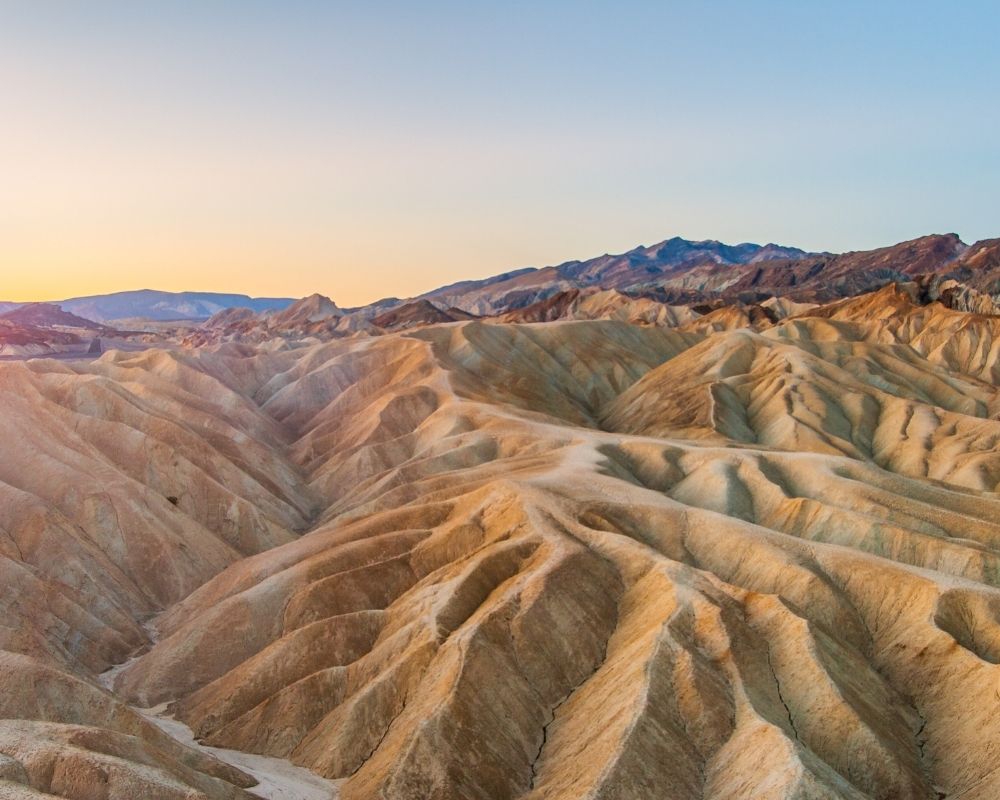
Death Valley National Park, the largest national park outside of Alaska, is an almost immeasurable place. Being separated from the Pacific Ocean by five mountain ranges, the climate of the place is arid. Death Valley is one of the largest desert areas in the US. Its incredible landscapes, almost like one from another planet, have attracted travelers since the beginning of the 20th century.
About the Park and Why It’s My #4 Choice
Death Valley is the hottest point in North America and holds the record for the highest temperature ever recorded: 136.5ºF (58.1ºC). This is because it is located 94 yr (86 m) below sea level and is protected by high mountains of the Sierra Nevada in California. The mountains act as a buffer to the clouds that arrive from the Pacific Ocean, leaving only 2 cubic in (5 cm) of rain per year in the Death Valley.
History of the Park
The Death Valley received its name in 1849 when a convoy of carriages full of immigrants traveling to California got lost in there for several weeks. They had to burn their carriages and eat their oxen to survive. When they finally found their way out, one of the women said, “Goodbye, Death Valley,” and the name endured forever.
Where Is the National Park?
Valley of Death National Park is located approximately 200 miles (320 km) northeast of Los Angeles, California, in a region composed of numerous arid mountain ranges interspersed with desert, mountains, and valleys.
At 100 miles (160 km) long, Death Valley Park is located 50 miles (80 km) east of the mountain ranges. Its width varies from 5 miles (8 km) to 15 miles (24 km) in its entirety in a terrain that receives less than 2 inches (5 cm) of rain per year with clear skies in any season of the year.
Surrounded by high, arid mountain ranges, the sun warms the ground and temperatures are extremely high—up to 122ºF (50ºC) in the summer, even at night. The park has ideal conditions for those who enjoy the heat and features artificial lakes where people can take a refreshing swim.
Best Time to Visit
After considering what I said above, you might think that visiting Death Valley in the winter would be ideal. Well . . . yes and no. Yes, the temperatures are milder in December and January, typically measuring between 64ºF (18ºC) and 70ºF (21ºC). But at the same time, in winter the days are shorter, and this park is huge, requiring adequate time to visit and explore.
Therefore, if you plan to visit Death Valley National Park in the winter, organize your itinerary so you can sleep as close to the park as possible both the night before and the night after. If you stay in Las Vegas, get up early and book your night at Stovepipe Wells so you don’t have to drive too long without lights guiding your way.
Spring and fall are regarded as the best seasons of the year to visit the Valley of Death. And yet in May, although it is a spring month, the temperatures already begin to skyrocket. I visited Death Valley on June 1 and the heat was already high; the Furnace Creek thermometer read 108ºF, or more than 42ºC.
Best Day Hike in Death Valley National Park – Badwater Basin Salt Flats Trail
The Valley of Death has spectacular landscapes that seem to have become a popular hiking spot for people worldwide. Badwater Basin is one of the easiest hiking trails out of many and was chosen due to its short length and fascinating salt flats.
QUICK FACTS:
- Location: Along Highway 190 around 17 miles (27 km) south of the Furnace Creek Visitor Centre in Death Valley National Park which straddles eastern California and Nevada.
- Distance: 1 mile (1.6 km) to the edge of the salt flats
- Time: 40 minutes
- Difficulty: Very easy
- Route: An ADA accessible ramp leads down to a wooden boardwalk. The walking surface is firm and wide beyond the boardwalk.
- Track Quality: Excellent and well paved
- Hazards: Heatstroke and dehydration
- Elevation: Flat
- Wet Feet: No
- Toilets: Vault toilet located in parking lot
- Mobile Coverage: No
- Updates on trail conditions and closures.
HIKE DETAILS
From the Badwater Basin parking area, take the steps to the salt flat and walk your way through the first 0.5 miles (0.8 km) of track that has been flattened by the adventure activities of other tourists. As you move along, the track will disappear and you will need to find a point on the horizon and move towards the west.
Full Track Description
The Badwater Basin trail is a trek into the basin and then back to the car park. Throughout the trail, you can see the salt flats stretching for many miles along the valley. The hike is flat and easy, but it can often be extremely scorching and hot, so take water with you even if only venturing a short way into the salt flats. You’ll also need sunglasses, because the salt flats reflect a lot of sunlight, making it exceedingly bright. You will start to see the salt flats just next to the car park. However, the further you hike into the flats, the less distinct the trail becomes from human foot traffic. In short, they become more and more impressive to view the further you go. I walked for several miles into the flat, where the ground became solid white with many circular-shaped salt formations. This was pleasing to see. I spent approximately forty-five minutes here during the late morning.
Things to Note
The best time to visit is from November to March. Pets are not allowed on any trail in Death Valley National Park, but you can walk your pet through one of the dirt roads if you speak with a ranger.


